
Reviewed October 2, 2026
A beach trip to Rocky Point includes a drive through the desert. Before you leave, check the weather along the journey as well as at Puerto Peñasco. A sunny destination photo is no substitute for an official alert about the road ahead.
This guide explains where to check and how to respond to storm hazards. It is not a live Highway 8 road report. Conditions must be checked again close to departure.
When is monsoon season?
Arizona uses June 15–September 30 as its monsoon season. That calendar helps organize preparations; it does not make travel automatically safe on October 1. Arizona officials also note that dust storms can occur outside summer. For Sonora, consult Mexico's current weather bulletins rather than applying an Arizona calendar as a local forecast. Phoenix monsoon resources · ADOT dust-storm guidance
Check both sides of the border
Make these checks before departure, and repeat them at a safe stop if the weather changes:
- Arizona roads: Open AZ 511 and review the highways you will actually use. Its map includes closures, incidents, roadwork, cameras and weather layers. Arizona information does not establish conditions on Mexico's Highway 8.
- Mexico's weather: Check the Servicio Meteorológico Nacional for the municipal forecast, storm advisories and Pacific cyclone bulletins. Read the issue time and affected area.
- Local instructions: Look for dated announcements from Protección Civil Sonora and the Puerto Peñasco municipal government. Follow closures and evacuation instructions.
- Border planning: Reconfirm operating information with CBP's Lukeville port page. A border opening does not certify the rest of the drive.
If you cannot establish whether a reported closure has been lifted, postpone that part of the journey and seek an official update. An old social-media post, a hotel's reassurance or a navigation app's arrival time is not a reopening notice.
Keep Highway 8 and security guidance in view
The current U.S. advisory says to reconsider travel to Sonora. It permits U.S. government employees to travel between Lukeville–Sonoyta and Puerto Peñasco via Federal Highway 8 only. These are employee restrictions, not a declaration that the road is safe in all circumstances. Avoid an improvised detour when weather blocks your planned route. Review the Mexico travel advisory and our driving guide.
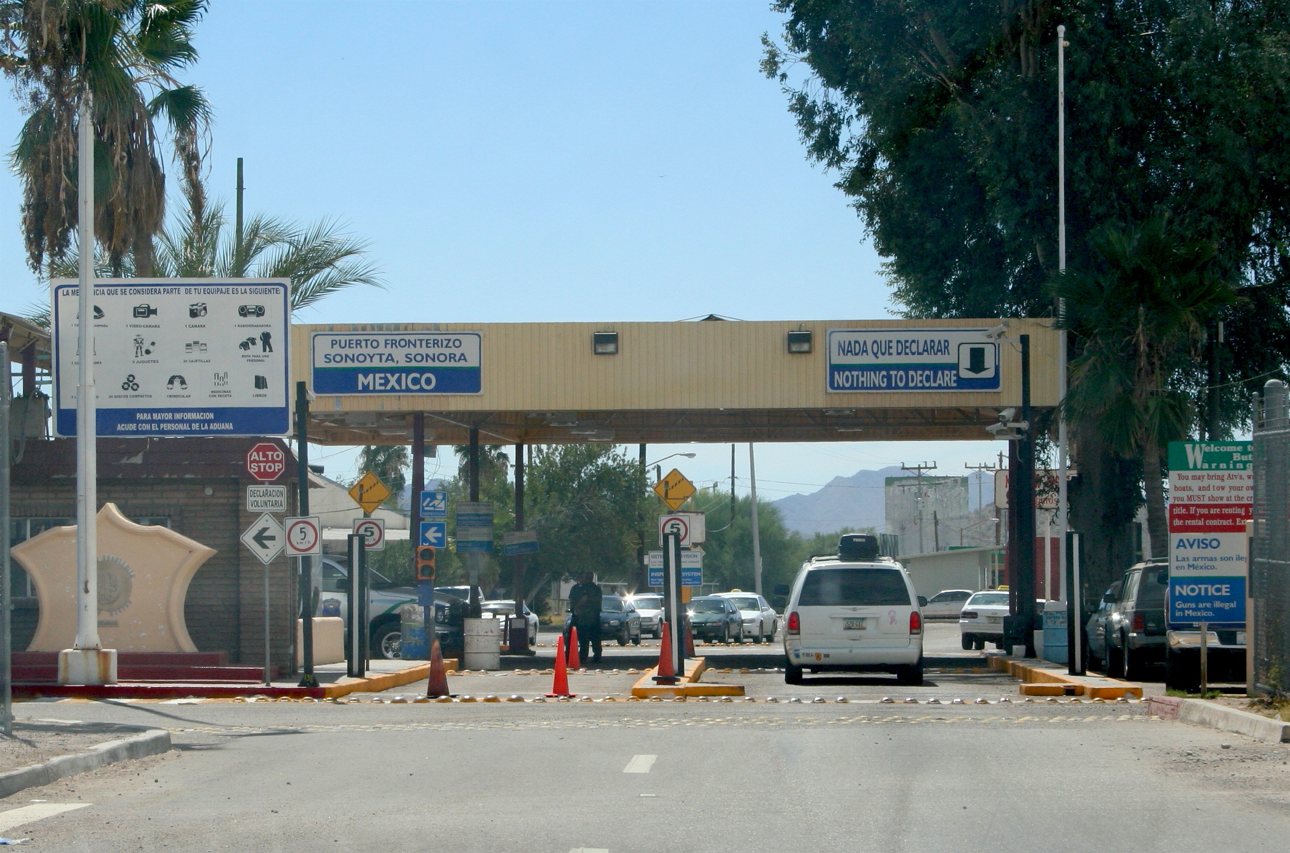
Sonoyta border entrance, photographed September 23, 2005. Historical route illustration; not a current traffic or weather image. Photo: Alan Levine, Wikimedia Commons, CC BY 2.0. Original, unaltered photograph.
Stop before a flooded crossing
Mexico's Civil Protection guidance says not to cross flooded rivers, arroyos, low-water crossings or streets on foot or in a vehicle. An arroyo is a drainage channel that may otherwise look dry. CNPC flood precautions
Do not use another vehicle's successful crossing as a test. Water can conceal a damaged road, and a larger vehicle does not remove the danger. Never go around a flood barricade. If flooding blocks the route, stay out of the water and follow official instructions. NWS flood safety
Dust storms need a different response
For the Arizona portion, ADOT advises against driving into a dust storm. If one catches you, check traffic, slow down and safely leave the highway completely. Do not stop in a travel lane or emergency lane. Once safely off the paved roadway, switch off all lights, including flashers, set the parking brake, remove your foot from the brake and remain buckled in the vehicle until visibility improves. The lights-off instruction applies after you are safely off the roadway. ADOT instructions
Leave the beach when thunder starts
Seek a substantial building or enclosed vehicle when you hear thunder. An open beach shelter or umbrella does not provide lightning protection. NWS recommends waiting at least 30 minutes after the last thunder before returning outdoors. Follow local beach instructions and reconfirm departures with your tour operator. NWS beach lightning guidance · Beach flags guide
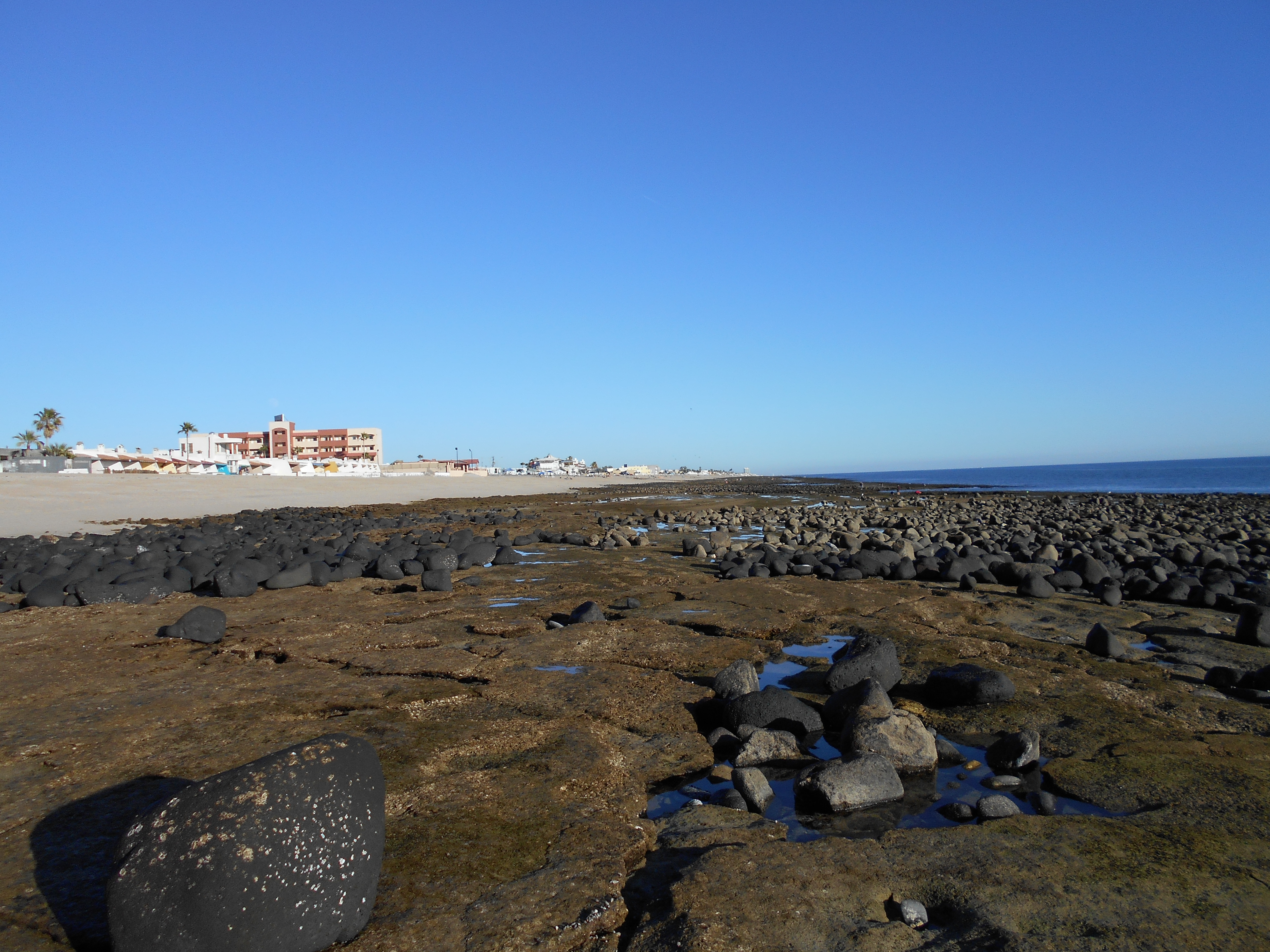
Puerto Peñasco at low tide, December 31, 2017. Historical coastal view; the water shown is not storm flooding. Photo: Phi, Wikimedia Commons, CC0 1.0. Original, unaltered photograph.

Build flexibility into the trip
Our planning recommendation is to leave room for a delay: carry drinking water, charged phones, a power bank and essential medications; save your accommodation and insurance contacts; agree on a check-in plan with your group. Before booking a boat trip, ask about weather cancellations and rescheduling. For an emergency in Mexico, call 911 and give your location. Mexico's emergency service
Frequently asked questions
Is Highway 8 open right now? This page does not confirm live status. Check dated official reports and closures immediately before travel.
Can I drive through water in an SUV? Do not enter a flooded road or crossing. Vehicle size does not make that safe.
Does Arizona's September 30 season end remove storm risk? No. Check actual forecasts and alerts for your trip.
Does AZ 511 cover Highway 8 in Mexico? Use it for Arizona roads; verify the Mexico portion separately.